|
In July 2012, I
led students from Tasker
Milward School in launching a meteorological
balloon ("weather balloon") high into the stratosphere
into the region classified as “near space”. The balloon carried a
simple -point-and-shoot digital camera, and captured some
stunning images.
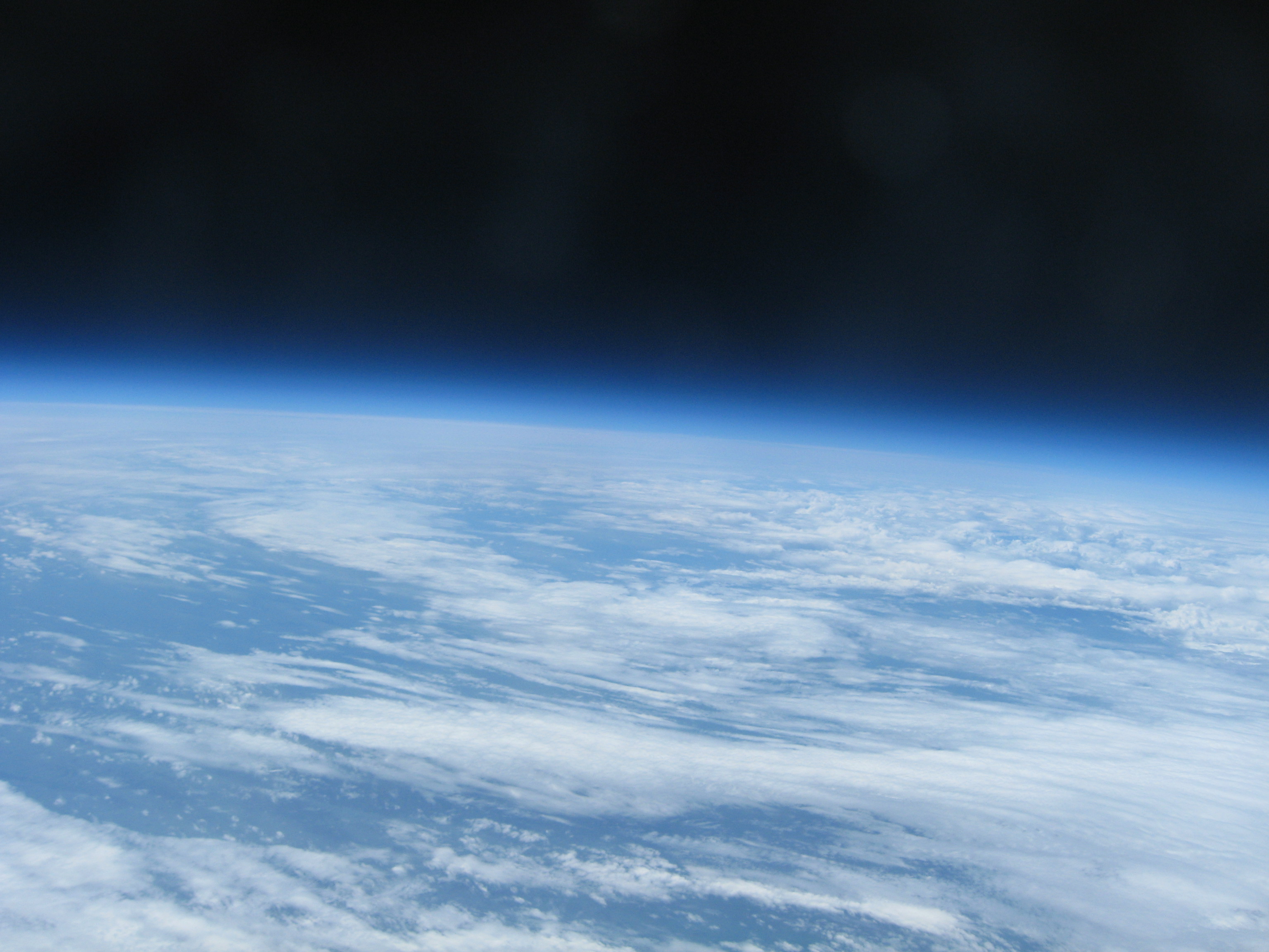
Pembrokeshire from 33000m, captured by a Canon A760.
Click the image to view a full size version.
The balloon carried a
payload containing a camera to capture images and electronics to obtain
temperature measurements and facilitate tracking. Once at maximum
altitude, the balloon burst and the parachute opened - allowing
the payload to descend safely back to Earth!
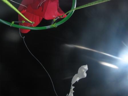
The balloon bursts against the black background of space.
The parachute opens in the thin atmosphere
The project generated a lot of interest among
students and
in the national news. Click
here to view the full news article on the ITV
website.
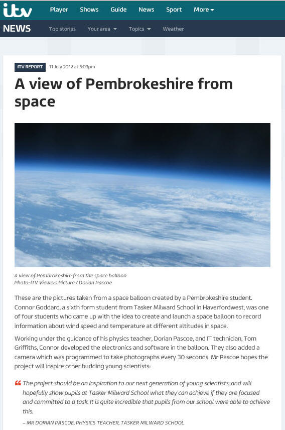
My students in the news! A fantastic
achievement :)
The camera captured images throughout the ascent as
the balloon climbed, while electronic sensors captured data to profile
the temperature throughout the atmosphere. A GPS module relayed
information on the balloon’s position throughout the flight, which was
received by a radio receiver on the ground. This allowed the team
to track the balloon as it climbed, and subsequent analysis of the data
will provide information on the wind speed, ascent rate and descent rate
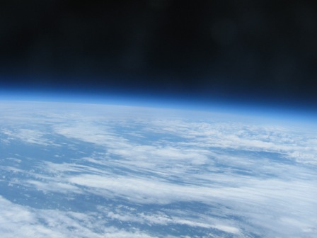
of the payload. The balloon climbed to a maximum height of 32.7km,
reaching temperatures as low as -40˚C. The images captured at the
maximum altitude showed the curvature of the Earth, the blue glow of the
atmosphere, and the blackness of space. Weather systems can be seen as
the camera captured images from this maximum altitude, before the
payload started to plummet back to Earth. The initial descent rate was
around 90mph, and the payload took 32minutes to fall to its eventual
landing point in a field of cows near to St Clears.
More information and pictures to follow...!
|